
Surveyors from Moscow explored the shaft of the Novgorod Kremlin after subsidence
Specialists of the Moscow State University of Geodesy and Cartography (MIIGAiK) joined the survey of the earthshaft of the Novgorod Kremlin. According to the press service of the Novgorod Museum-Reserve, Moscow experts conducted high-precision laser scanning of the most vulnerable areas of the fortress.
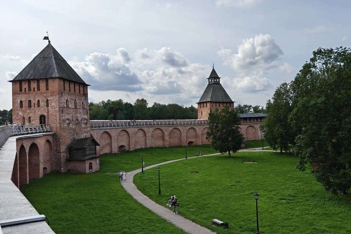
Specialists of the Moscow State University of Geodesy and Cartography (MIIGAiK) joined the survey of the earthshaft of the Novgorod Kremlin. According to the press service of the Novgorod Museum-Reserve, Moscow experts conducted high-precision laser scanning of the most vulnerable areas of the fortress.
The reason for the large-scale inspection was a landslide, which occurred after heavy rains in September. The displacement of the land was recorded on the site from the Resurrection Arch to the Zlatoust Tower, as well as at the foot of the Kukuy Tower. So far, the changes have affected only the upper, artificial layer of the shaft, but experts need to assess the risks of further destruction.
During the work, Moscow specialists scanned part of the fortress ditch, a fragment of the wall and three towers - Pokrovskaya, Kukuy and Prince. Based on these data, scientists will create an accurate three-dimensional model of objects. 3D modeling will allow you to record in detail the current state of the monument, track any new changes and choose the right methods for strengthening the slopes.