Petrozavodsk public transport is now under supervision
Petrozavodsk residents can now easily track the movement of public transport thanks to an innovation in the popular service 2GIS
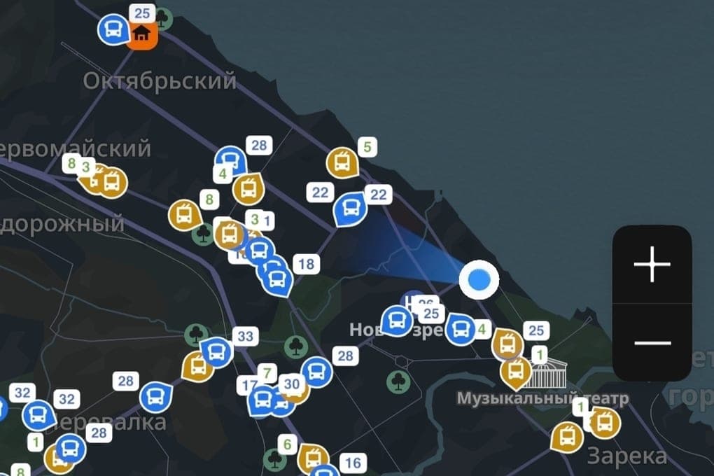
Residents of Petrozavodsk can now easily track the movement of public transport thanks to an innovation in the popular service 2GIS. Both on mobile devices and on the site, the city map displays all city buses and trolleybuses in real time.
The new functionality is designed to make travel by public transport more convenient and predictable. Users of the service can:
Find the right transport: just click on the stop of interest to see all the routes passing through it.
Track a specific route: By entering the route number in the search bar, passengers will see its movement as a line on the map.
Plan your trip: when building a route between two points, the service will show the appropriate public transport options and its current location.
The organizers of the project hope that the ability to see transport on the map online will have a positive impact on the quality of trips for citizens, reduce waiting time at stops and make the use of public transport even more comfortable.