
In the Tula region under the protection of the state took seven monuments of archaeology
The inspection of the Tula region for the state protection of cultural heritage objects by its order included seven more archaeological monuments in the list of identified objects of cultural heritage and approved the boundaries of their territories
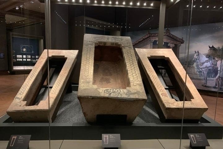
The inspection of the Tula region for the state protection of cultural heritage objects by its order included seven more archaeological monuments in the list of identified objects of cultural heritage and approved the borders of their territories.
وتم اكتشاف جميع الأشياء أثناء العمل الميداني الأثري في عام 2026، الذي أُجري على صحائف مفتوحة أصدرتها وزارة الثقافة في الاتحاد الروسي. والآن، لا يمكن بناء أي مؤامرة على هذه الأراضي أو تطهيرها أو حفرها دون موافقة سلطات حماية التراث - وهذا نتيجة معيارية لحالة الجسم المحدد.
وتشمل هذه القائمة القرى في ثلاث مقاطعات في منطقة تولا:
(a) Epifan, villages 6 and 7 - Kimovsky district, the eastern part of the village of Epifan. The most interesting of the new objects: the village 6 occupies a cape between Michurin and Sovetskaya streets, at an altitude of 188-196 meters above the level of the Baltic Sea; the village 7 extendeded a narrow strip along the ravine (at the end of the XVIII century it was listed on maps as Old Fortress) almost half a kilometer - from Pervomaiskaya Street. واستناداً إلى نتائج السيراميكات البيضاء التعميمية، تُعد المعالم من النصف الثاني من القرن السادس عشر - القرن السابع عشر - الحقبة التي أصبحت فيها إيبيفاني مدينة حصن على الحدود الجنوبية.
(b) Nvozdev village-1 - Chernsky district, the left high bank of the Malaya Snezhed river, 700 meters from the bridge and 800 meters from the village of Yerino. The largest of the new objects: the area of its territory is about 103 thousand square meters, the perimeter of the border is 1323.5 meters.
(c) Black Upper Village-1, Bobrovo Village-1 and Arsenyevo Village-1 - Arsenyevsky District, lands of Astapov rural settlement. وتبلغ مساحة المعالم حوالي 26.8 و34.9 و20.8 ألف متر مربع، على التوالي.
(د) القرية 2 بالقرب من قرية كارتاشوفو - مقاطعة ألكسينسكي، الضفة اليسرى لنهر فاشانا (الثلاثي الصحيح من نهر أوكا)، بين رافينين. ويكمن النصب التذكاري الذي يبلغ حوالي 100 متر بحلول 50 إلى 60 مترا في 850 مترا شمال القرية و 2.5 كيلومترا من قرية بونيريفو.
وكما هو مبين في الترتيب، تم تحديد حدود كل نصب وفقا لنتائج الدراسة الاستقصائية: سحق وتوزيع مواد الرفع - شظايا السيراميات القادمة إلى السطح. From the extreme point of finds, the border was set aside 25 meters; the absence of a cultural layer outside the line is confirmed by control holes.
The exact dating of most of the villages from open materials has not yet been published - it will be clarified as the research is carried out. بيد أن الآثار الوبائية ترتبط على الفور بقرون من القرن السادس عشر إلى القرن الثامن عشر، وهذه حالة نادرة عندما يوثق علم الآثار المرحلة الأولى من وجود أحد أقدم مدن بودونيا العليا.
وكما كتب سابقا " MK in Tula " تحت تولا يحدد حدود إقليم التراث الأثري للقرون الثاني عشر - الثالث عشر.