We saw how with the help of an unmanned hydrographic complex we study the water balance of Vilia in the BelNPP area
Employees of the Department of Monitoring and State Water Cadastre and the Department of Hydrology and Water Protected Territories of a leading institute in the field of water management.
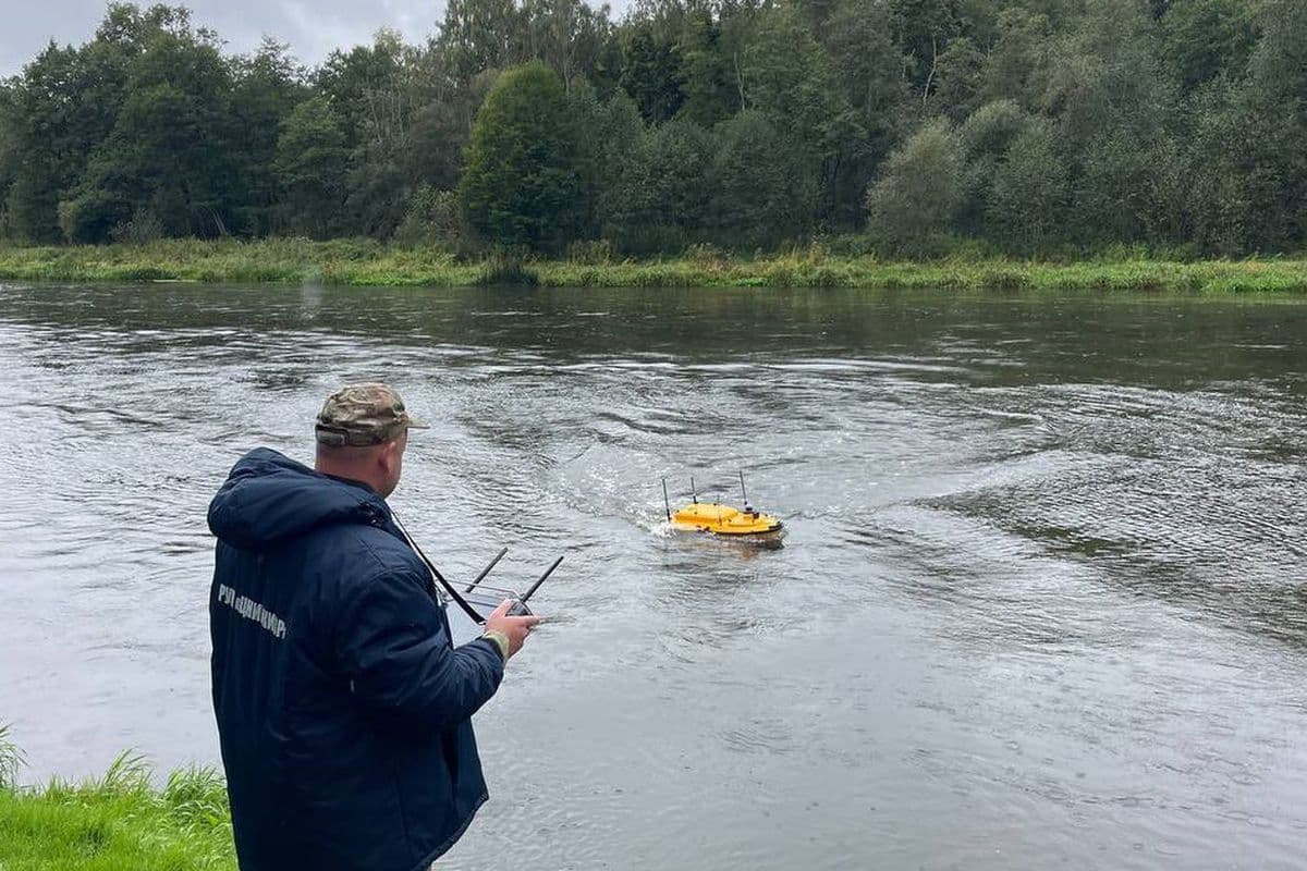
Employees of the Department of Monitoring and State Water Cadastre and the Department of Hydrology and Water Protected Territories of the leading institute in the field of water resources management RUE TsNIIKIVR joined forces to study the water balance of the Vilia River. This sb.by reported at the Institute.
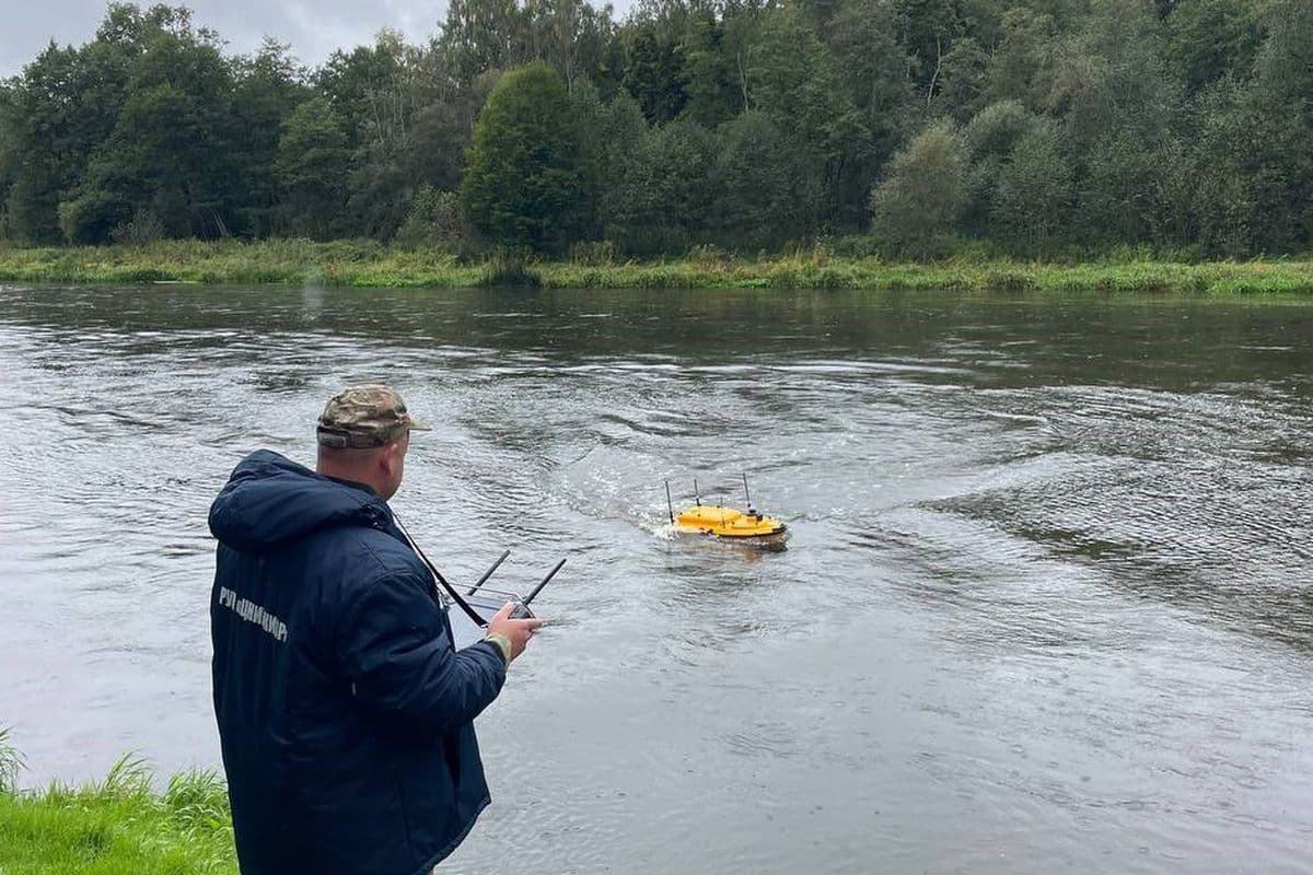
In the Astravetsky district of the Grodno region, in the area of the water intake of the Belarusian nuclear power plant, joint expeditionary studies are being conducted on the Vilia River, the experts informed. To obtain accurate data, a modern unmanned hydrographic complex Apache 4 is used. This allows measurements to be carried out with high accuracy and speed.
Experts record the key parameters of the hydrological regime of the river: water flow, water levels and flow speed.
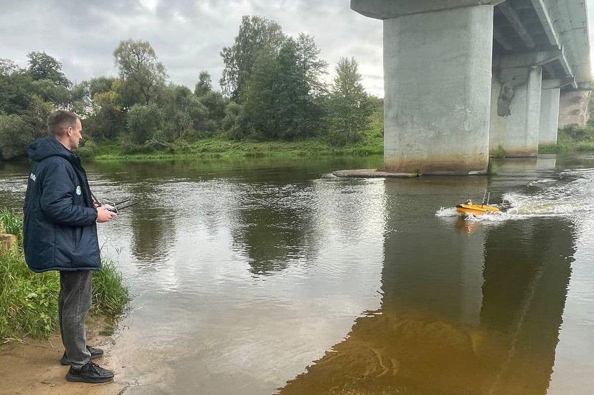
- The obtained data will clarify the parameters of the hydrological regime of the Vilia River and ensure the relevance of the information of the state water cadastre, the institute said. On which rivers of Belarus there is an increase in water levels, learned in Belhydromet Photo: RUE "TsNIIKIVR".