On the public cadastral map of Belarus updated geodata on the boundaries of the border zone and strip
On the public cadastral map of Belarus, the layers “Limits of the border strip” and “Limits of the border zone” are updated. This sb.by reported in the National...
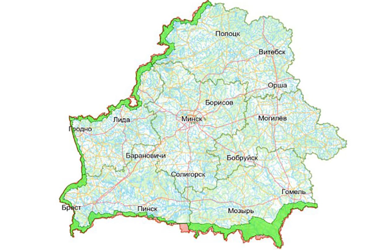
On the public cadastral map of Belarus, the layers “Limits of the border strip” and “Limits of the border zone” are updated. This sb.by reported in the National Cadastre Agency (NCA).
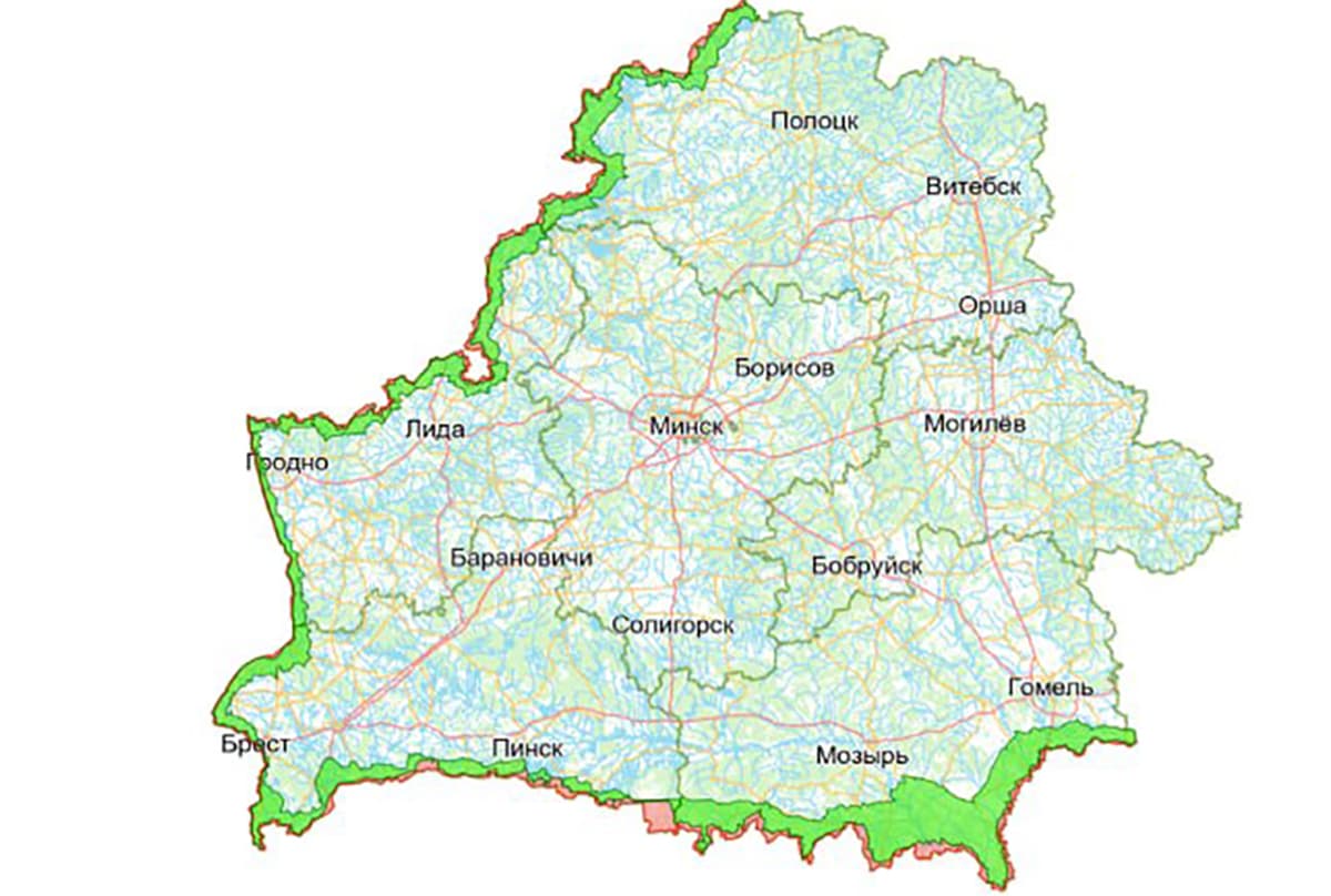
The State Border Committee and the National Cadastral Agency have 8 years of fruitful cooperation in publishing information on the public cadastral map. The planned update of geodata on the boundaries of the border zone and strip is recorded on the map according to the latest decisions of the regional executive committees of Vitebsk and Gomel regions, preparations are underway for updating in the territory of Brest region.
Experts noted that this information is necessary to comply with the border regime, which determines the procedure for entry, temporary stay and movement of people and transport, as well as the rules for conducting any economic activity near the state border, allows citizens and organizations to accurately determine the boundaries of border areas online.
- In addition to the information on the public cadastral map, information was added to the chatbot “Limits of the border zone and strips of Belarus”, from a smartphone you can send the current geolocation or enter coordinates and immediately find out whether a special legal regime applies to the point. More than 380 settlements of Belarus begin with the letter X