Forecaster revealed when the real winter will come to Russia
The first serious wave of cooling on the Russian plain has ended, but the snow cover will not linger for long
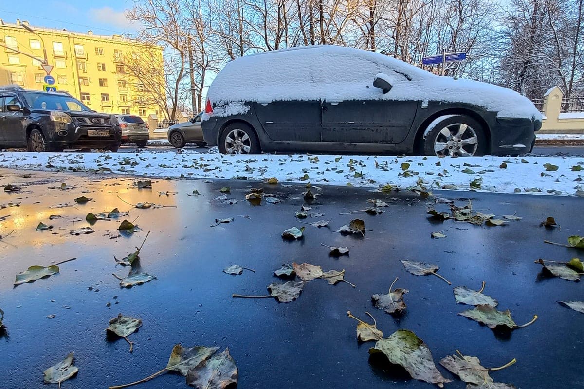
The first serious wave of cooling on the Russian plain has ended, but the snow cover will not linger for long. In the coming week, the region expects a period of abnormally high temperatures, and a steady onset of winter is predicted only at the turn of November and December. This was written by the leading specialist of the Weather Center FOBOS Vadim Zavodchenkov in the column for the IP “Vesti”.
According to the weather forecaster, the recent cold snap during the day brought snowdrifts 15-20 cm high to certain areas of the Middle Volga and Preural Mountains. Precipitation in the form of snow and rain with snow was observed even in the Black Sea region. At the same time, in Central Russia and the Volga region, winter weather was established one and a half weeks later than the climatic norm, and at the foot of the Urals snow fell almost a month later than usual.
Now the temperature situation has changed: at least another seven days will remain abnormal heat. The maximum values it will reach on Friday — in the period when the middle band usually begins meteorological winter.
Zavodchenkov connects changes in seasonal weather with global warming. Due to the increase in average temperature, the time during which snow cover can persist is reduced. If earlier the central regions of the Russian Plain were covered with snow for about four months, then in the XXI century this period decreased by almost a week and a half. A similar trend is seen in other parts of the country, including Siberia.
At the same time, the weather forecaster considers the disappearance of the usual Russian winter unlikely: the change of seasons is due to astronomical reasons. However, the winters themselves are becoming less stable. In particular, extreme November rainfall on the Russian Plain in this century is recorded about twice as often as usual.
Among the reasons for this phenomenon, the expert called the heating of the World Ocean, which increases evaporation and increases the amount of moisture in the air masses, as well as more contrasting atmospheric fronts. As a result, snow falls less often, but individual snowfalls become more intense.
Another snowfall is expected on Thursday, but the Atlantic air masses will not allow the snow cover to gain a foothold. According to Zavodchenkov's forecast, the conditions for a sustainable onset of winter will develop only in late November - early December.
Earlier, forecaster Evgeny Tishkovets said that winter in the capital region will not come on time.
Earlier, Professor Irina Repina told what winter to expect Russians.
Reliable news is always at hand - in the channel "MK" in MAX