In the Murmansk region created digital maps of cities and districts by 27%
In the Murmansk region continue to create and update electronic maps of settlements. Currently, the region is provided with a single electronic cartographic basis by 27%. This was reported in the regional office of Rosreestr.
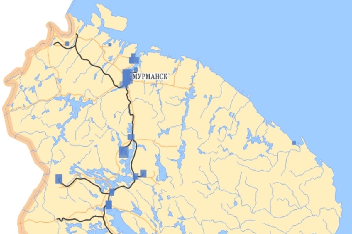
In the Murmansk region continue to create and update electronic maps of settlements. Currently, the region is provided with a single electronic cartographic basis by 27%. This was reported in the regional office of Rosreestr.
In 2024 and 2025, specialists prepared digital maps and orthophotoplanes for a number of cities and districts of the region.
New materials of 1:2000 scale were created for the settlements of Lovozersky, Tersky, Kandalaksha, Kovdor and Kola districts, as well as for Apatites, Kirovsk and Polar Zor.
Orthophotoplanes of scale 1:10000 prepared for Severomorsk, Murmansk, Kandalaksha, Kola, Polar Dawns and Apatites. Digital plans have also been created for Kandalaksha district and several cities in the region.
Orthophotoplane is a detailed image of the area, created on the basis of aerial photography. It allows you to accurately display buildings, roads and other objects and is used in planning the development of territories.
In 2026-2027, Rosreestr plans to prepare such materials for territories that are not yet covered by cartographic work.
Earlier, “MK in Murmansk” reported that in Murmansk they plan to create a drone center near 60 hectares of the Kola Bay.