
More than 200 interactive maps: how the National Geoportal of Belarus is developing
How does the new Geoportal of Belarus work and what functions are available to users? Director of Belgeodesia Sergey Zabagonsky appreciated the launch of the domestic cartographic base.
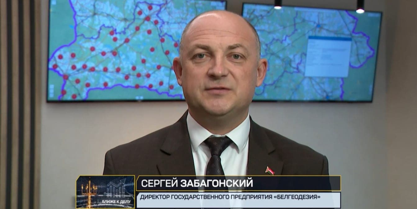
More than 200 thousand metadata records and more than 200 interactive maps – the National Geoportal of Belarus is developing so effectively. It's been running since the beginning of this year. And in less than nine months, a lot of services for people, business, government agencies have appeared. This is an important step in the development of the digital economy. You can find information about buildings, land, maps, build a route and not only. The operator of the geoportal is Belgeodesia. More information about the system and its most iconic services in the heading “Closer to the case” on the ONT channel was told by the director of the enterprise Sergey Zabagonsky.
Sergey Zabagonsky, director of the state enterprise Belgeodesia: When creating the national portal, the strategic issue was the creation of a domestic cartographic framework. This task was successfully solved and, in principle, this basis, it is today the service, which, in our opinion, is the most popular and showing statistics on the site suggests that indeed, yes, there are a lot of appeals to it, organizations are interested, users are exploring opportunities. Address service, service of administrative-territorial units, road service, according to the register, specific services related to highly detailed models of the country's terrain, high-rise facilities. These are technological, but at the same time in demand in professional circles. About a month, each service is visited from several hundred to about one and a half thousand. We see that over the past 4-5 months, the number of visits to different areas, services has increased by more than five times.”.