
Novosibirsk predicted a dangerous winter with thaws and snowfalls
Winter in the south of Western Siberia can be warm, but at the same time bring sharp temperature changes and heavy snowfalls
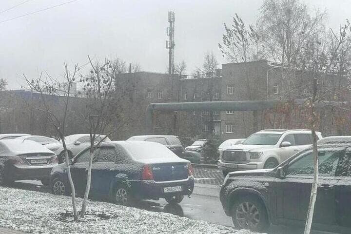
According to the expert, the temperature regime of winter in southern Siberia is influenced by the processes of atmospheric circulation in the Arctic Ocean. The hot summer of 2026 with temperatures above the climatic norm could lead to the fact that ice in the Kara Sea will begin to form later than usual.
“Cyclones from the north-west will come to the Novosibirsk region – the so-called diving cyclones. They will bring in November-December warming and snowfall, — said the climatologist.
Alternating thaws and snowfalls can complicate the situation on the roads and increase the burden on utilities. Sharp changes in weather can also affect the well-being of weather-dependent people.
Olga Litvinova also noted that the winter season in the south of Western Siberia is traditionally divided into three phases: moderately frosty, significantly frosty and pre-spring. The first begins when the average daily temperature steadily drops below -5 degrees and snow cover is formed. The transition to the coldest period is associated with a steady cooling below -18 degrees.
In warm winters, the phase of severe frosts may be short or not at all. Sometimes the cold weather only comes in January.
However, the history of the region knows the opposite scenarios. In the winter of 1968-1969 and in the 2009-2010 season, the period of severe frosts began in the second half of November and lasted until the beginning of March.
The nature of winter depends largely on the movement of air masses. The frequent passage of cyclones from the west, southwest and northwest contributes to warmer weather. In contrast, intrusions of Arctic air and long-term preservation of anticyclone can lead to prolonged frosts.
Earlier, "MK in Novosibirsk" reported that weather forecasters called the timing of the appearance of meter snowdrifts.